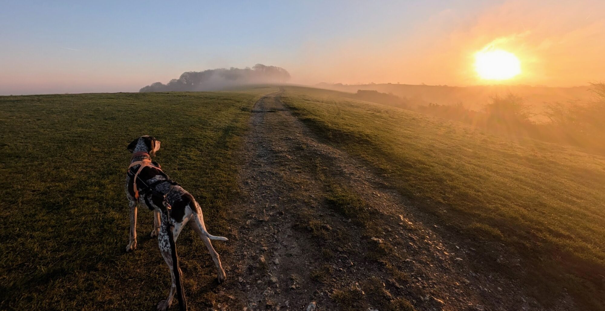
This route takes you along the downslink and around Rudgwick for just slightly over 10km. The route starts at the location of the now demolished Slinfold Station  where parking for 4 or 5 cars can be found just past the Caravan and Motor home site on the right. Heading west from the parking location the route follows the along the downslink trail.
Care should be taken while crossing the A281 in both directions but once over the route is safe for all. Once over the road follow the trail until you see signs for the Milk Churn follow these until you get to the road. Take the footpath opposite and follow all the way across the fields and through some woodland until you find yourself looking at the Kings Head in Rudgwick.
Once here the route will take you up the steps opposite and slightly to the right of the Pub and through the Church yard to the back where you will pick up the footpath again. Follow this across a couple of fields until you come to a private road turn right and follow the road until you see a house just before the house there is a foot path to the left. Follow this path all the way until you come to the busy A281 again and you will see the downslink opposite, cross the road and follow the trail back to whence you came. During the route there are a number of streams so water is available as well as being many paths which could easily be explored as well as using the downslink for out and back type runs.

